University of Washington and Montlake Aerial Photography

A collection of aerial photographs of the University of Washington and Montlake area in Seattle, including the UW campus, Husky Stadium, Montlake Cut, Portage Bay, Lake Washington, bridges, and surrounding neighborhoods. Photographed in sunrise, sunset, fog, and changing Pacific Northwest weather, these images show one of Seattle’s most distinctive university and waterfront districts from above.

Order Prints

Foggy Sunrise Over Seattle’s University District A dramatic sunrise breaks through low fog over Seattle’s University District, with the I-5 Ship Canal Bridge crossing the foreground and city lights glowing...
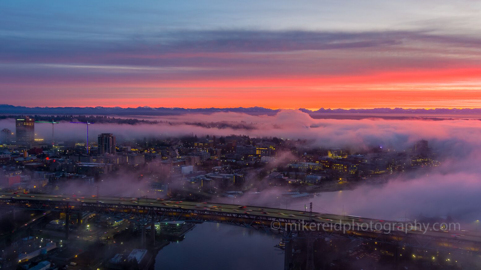
Foggy Sunrise Over Seattle’s University District

A dramatic sunrise breaks through low fog over Seattle’s University District, with the I-5 Ship Canal Bridge crossing the foreground and city lights glowing through the mist. Layers of fog drift across the neighborhood beneath a vivid red and orange dawn sky, creating an atmospheric aerial view of Seattle waking up.
Montlake, Seattle and Mount Rainier Through Morning Mist An aerial view across Seattle’s Montlake and University District area toward Mount Rainier, with low mist drifting through the neighborhoods and waterways...
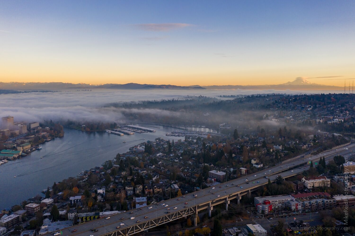
Montlake, Seattle and Mount Rainier Through Morning Mist

An aerial view across Seattle’s Montlake and University District area toward Mount Rainier, with low mist drifting through the neighborhoods and waterways below. The I-5 Ship Canal Bridge and Portage Bay anchor the foreground while soft atmospheric light layers the city against the distant Cascade landscape.
University of Washington and Montlake Cut at Sunrise Aerial view over Seattle’s University of Washington district at sunrise, with UW Medical Center and Husky Stadium on the left and the Montlake Cut running...

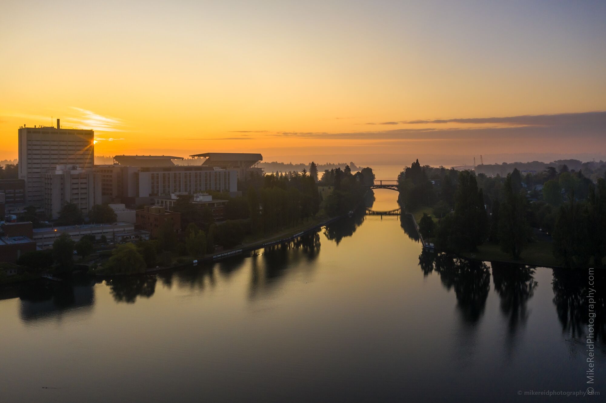
University of Washington and Montlake Cut at Sunrise

Aerial view over Seattle’s University of Washington district at sunrise, with UW Medical Center and Husky Stadium on the left and the Montlake Cut running through the center toward Lake Washington. Soft early morning light reflects on the water while low mist and gentle dawn color create a calm Pacific Northwest atmosphere.
Portage Bay, SR 520 Bridge, and Bellevue from Above An aerial view over Seattle’s Portage Bay with the SR 520 Bridge crossing the middle of the scene, the Seattle Yacht Club along the waterfront, UW Medical...
Portage Bay, SR 520 Bridge, and Bellevue from Above

An aerial view over Seattle’s Portage Bay with the SR 520 Bridge crossing the middle of the scene, the Seattle Yacht Club along the waterfront, UW Medical Center on the left, and Bellevue in the upper left distance. Calm water, autumn color, and clear light create a detailed urban Pacific Northwest landscape connecting Seattle and the Eastside.
University of Washington from Drumheller Fountain to the Quad An aerial view across the University of Washington campus in Seattle, looking from Drumheller Fountain toward the historic central campus and the UW Quad. The...
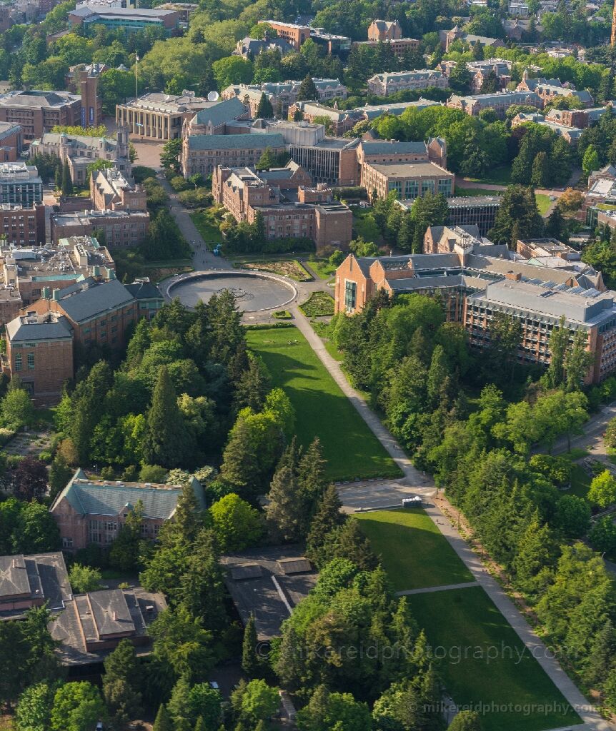
University of Washington from Drumheller Fountain to the Quad

An aerial view across the University of Washington campus in Seattle, looking from Drumheller Fountain toward the historic central campus and the UW Quad. The long green axis, mature trees, and classic Collegiate Gothic architecture show the scale and symmetry of one of the Pacific Northwest’s most distinctive university campuses.
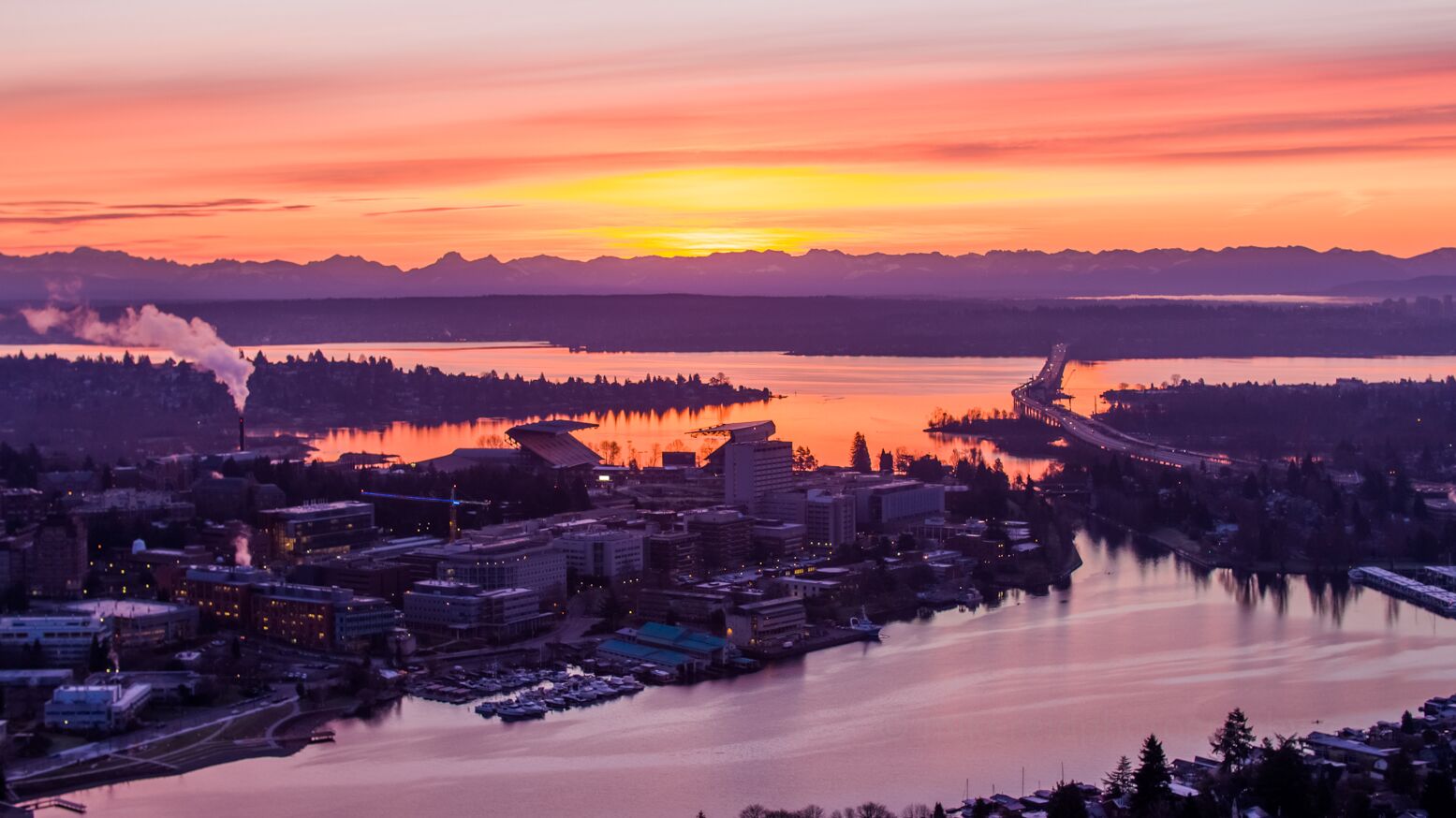
Seattle Sunrise Over Portage Bay and the SR 520 Floating Bridge A sunrise aerial over Seattle’s Portage Bay, looking east toward the SR 520 floating bridge with Laurelhurst in the middle distance and the University of...
Seattle Sunrise Over Portage Bay and the SR 520 Floating Bridge

A sunrise aerial over Seattle’s Portage Bay, looking east toward the SR 520 floating bridge with Laurelhurst in the middle distance and the University of Washington / UW Medical Center area in the foreground. Soft pink and orange dawn light reflects across the water, revealing one of Seattle’s most recognizable urban and waterfront views.
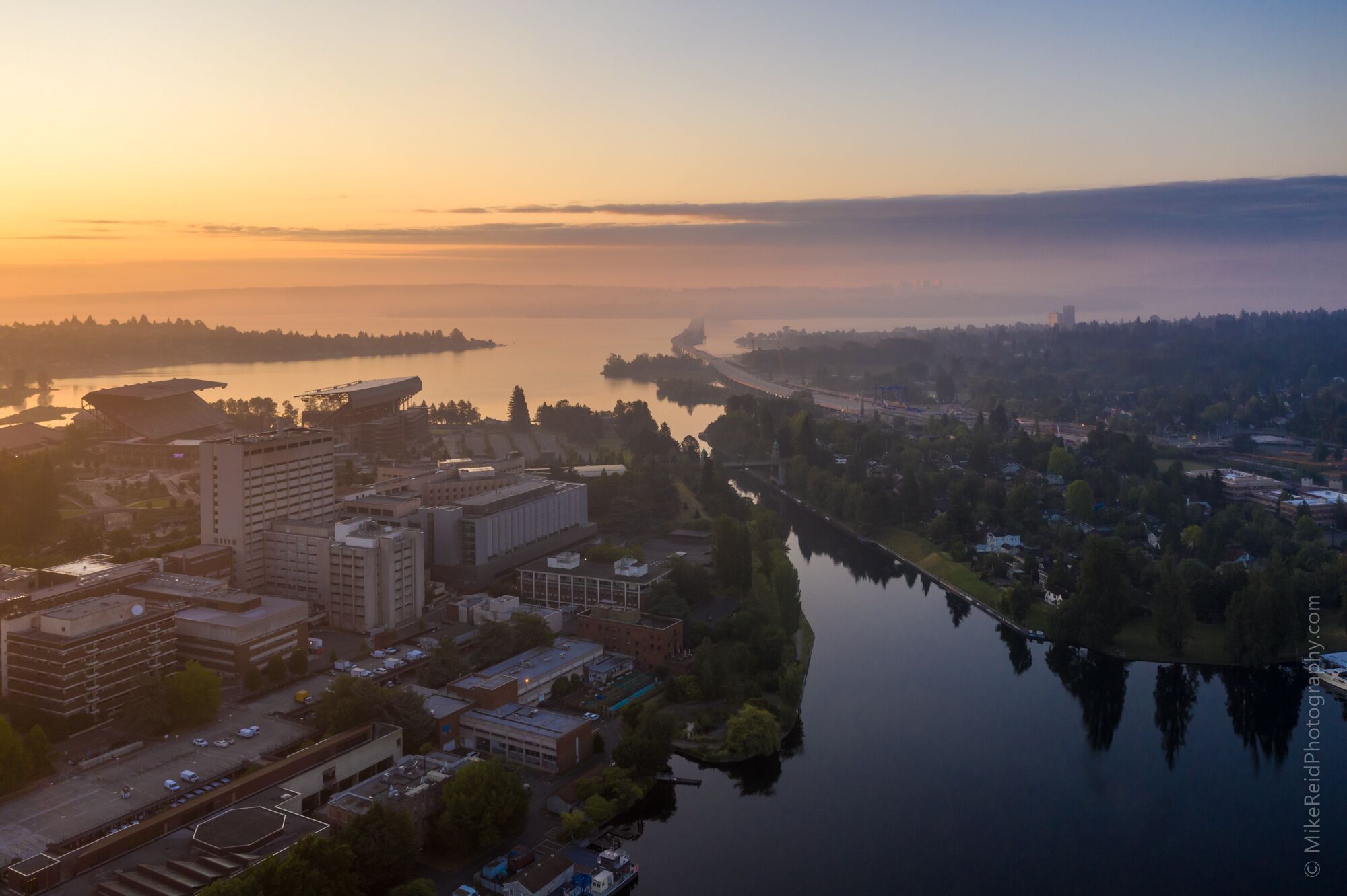
Foggy Dawn Over UW and the Montlake Cut A foggy dawn settles over Seattle’s University of Washington and Montlake neighborhood, with UW Medical Center in the foreground and the Montlake Cut leading...
Foggy Dawn Over UW and the Montlake Cut

A foggy dawn settles over Seattle’s University of Washington and Montlake neighborhood, with UW Medical Center in the foreground and the Montlake Cut leading toward Lake Washington. The SR 520 bridge disappears into the morning mist as soft sunrise light filters across the water and city.
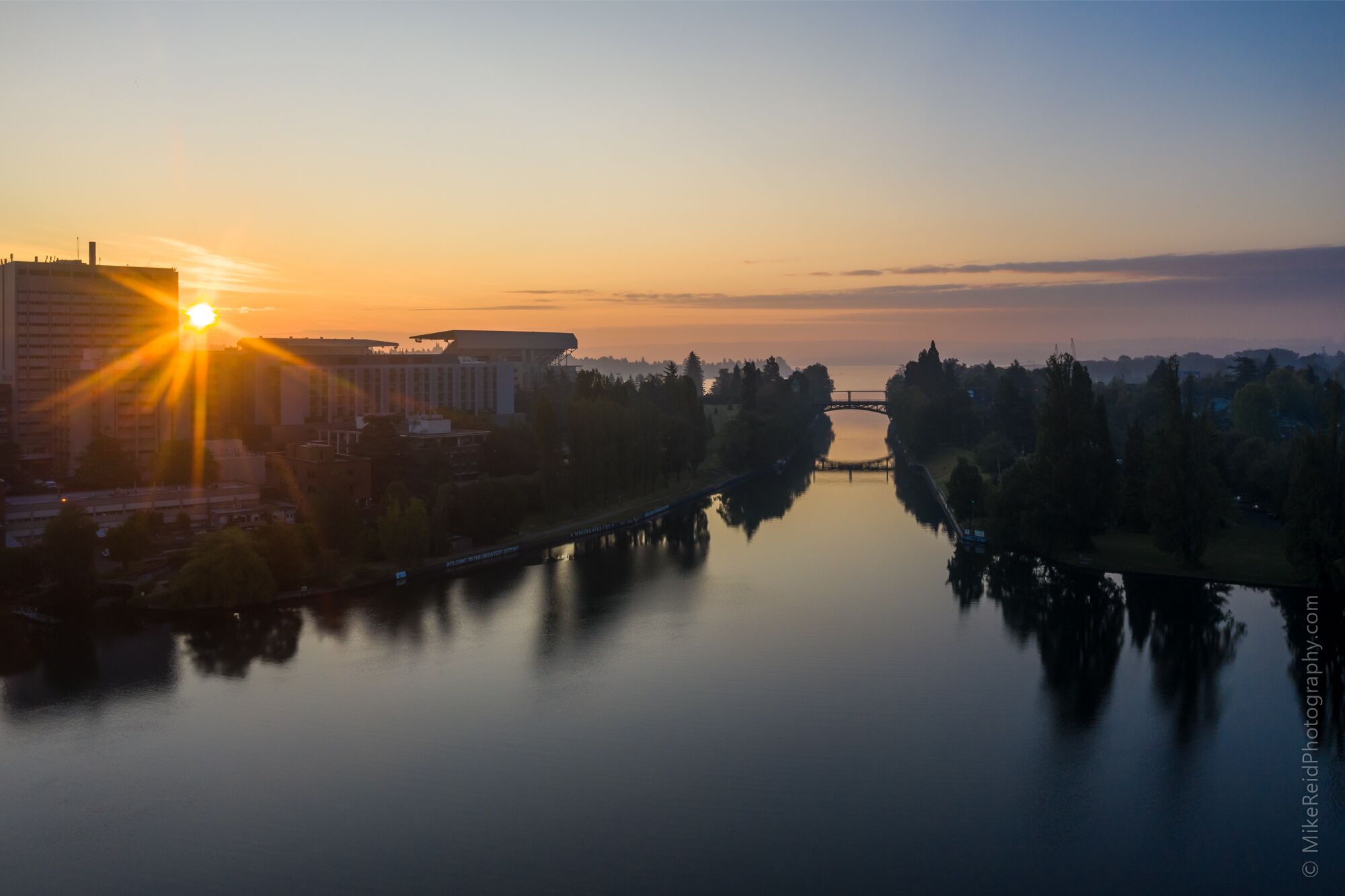
Sunrise Over the Montlake Bridge and UW Early sunrise light glows over Seattle’s Montlake Cut, with the Montlake Bridge centered in the distance and the University of Washington campus and medical...
Sunrise Over the Montlake Bridge and UW

Early sunrise light glows over Seattle’s Montlake Cut, with the Montlake Bridge centered in the distance and the University of Washington campus and medical center along the left shoreline. Calm water and soft morning tones give this aerial scene a quiet Pacific Northwest atmosphere.
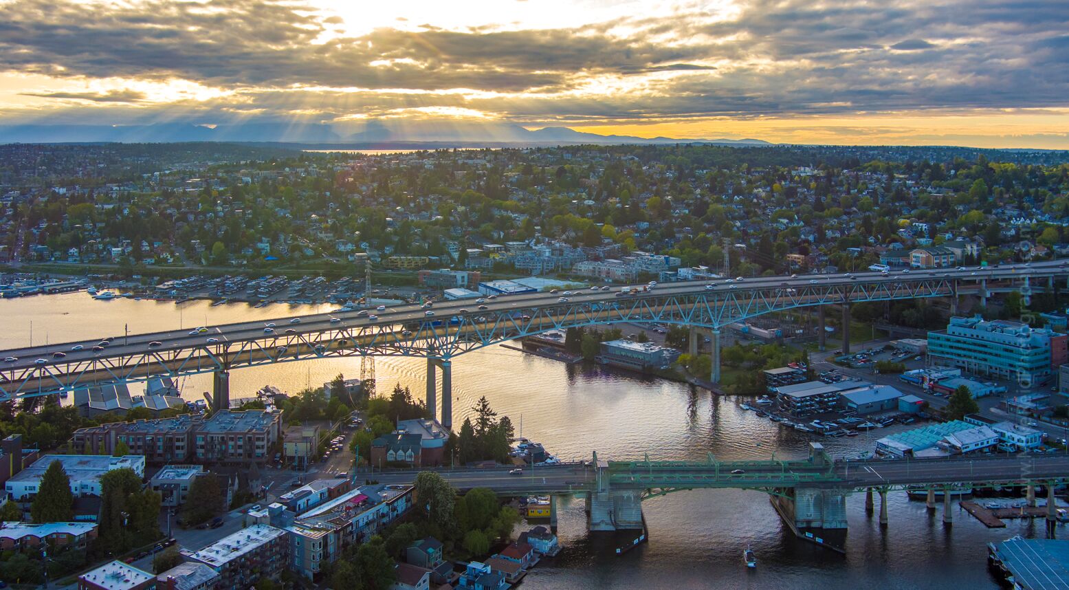
Evening Light Over Seattle’s Ship Canal Bridges Aerial view of Seattle at evening, looking across the Lake Washington Ship Canal with the I-5 Ship Canal Bridge and the University Bridge crossing the water...

Evening Light Over Seattle’s Ship Canal Bridges

Aerial view of Seattle at evening, looking across the Lake Washington Ship Canal with the I-5 Ship Canal Bridge and the University Bridge crossing the water below dramatic sun rays and layered clouds. Wallingford fills the far shoreline, with Montlake and the surrounding waterfront neighborhoods framing this classic Seattle urban landscape.
Seattle Skyline and Ship Canal Bridges from Above An aerial view across Seattle’s Lake Washington Ship Canal, with the I-5 Ship Canal Bridge and University Bridge crossing the water below. Gas Works Park lies...
Seattle Skyline and Ship Canal Bridges from Above
An aerial view across Seattle’s Lake Washington Ship Canal, with the I-5 Ship Canal Bridge and University Bridge crossing the water below. Gas Works Park lies to the right, Queen Anne Hill rises beyond it, while Eastlake and Capitol Hill fill the left side beneath the downtown Seattle skyline.